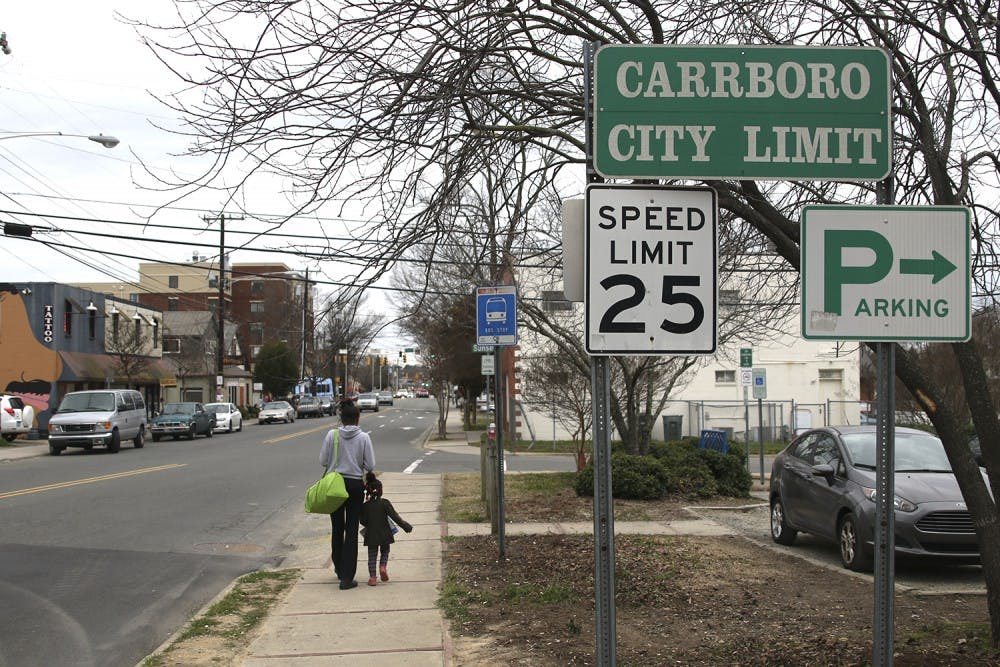
“I’m not too positive where one begins and the other ends, but I think I would be exiting Chapel Hill once I reach Papa Johns on Franklin,” UNC senior Deonta Woods said.
Serena Singh, a first-year and member of UNC’s marathon team, often runs between the two towns, but said if she wasn’t a member of the marathon team, she really wouldn’t know where the border is.
“When I’m running down Rosemary Street, if I keep going onto East Weaver Street and onto North Greensboro Street, then I know I’m entering the Carrboro area,” Singh said. “Oftentimes, though, I only know I’m in Carrboro if buildings around me have signs with the word ‘Carrboro’ in it.”
Although the two towns sometimes appear connected, there is a definitive, legal boundary between them.
“The jurisdictional boundary as well as the extra-territorial jurisdiction (between Chapel Hill and Carrboro) is clearly demarcated,” said Nikhil Kaza, professor in UNC’s Department of City and Regional Planning.
Carrboro Board of Aldermen member Bethany Chaney said the line between the two meanders a little bit. It’s not just one simple straight line from the northern part to the southern part of the town.
“If you were just talking about downtown, it would be about where Merritt Mill Road is and it goes through the Northside neighborhood and it sort of curves around certain parts of neighborhoods, so it gets a little messy,” Chaney said.
“We’re not neatly divided by Merritt Mill Road either — between Crook’s Corner and St. Paul AME church, St. Paul actually straddles the line.”


