The Daily Tar Heel
Printing news. Raising hell. Since 1893.
Wednesday, Jan. 1, 2025 Newsletters Latest print issue

We keep you informed.

Help us keep going. Donate Today.
The Daily Tar Heel

The way Chapel Hill looks will change in 2020

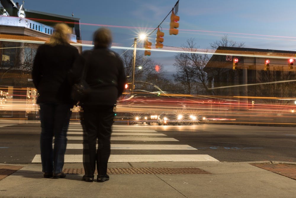
Franklin St crosswalk
A pair of pedestrians wait to cross the street on the intersection between Franklin Street and Columbia Street on Thursday, Jan. 10, 2019.

The Town of Chapel Hill is trying to figure out what it wants to look like in 2049, but the first hurdle is figuring out a map for 2020.

The Chapel Hill Town Council initiated the Charting Our Future project in April 2017 to refine the Future Land Use Map and rewrite the Town’s Land Use Management Ordinance. At the Council's meeting on Jan. 9, Alisa Rogers, project manager for the Land Use Management Ordinance, presented the most recent updates.

Rogers reviewed the development of Charting Our Future from its inception.

“About this time last year, the Town hired a consultant, and then we set about designing a process to engage the community and to refine the Future Land Use Map," Rogers said. "We held our two community meetings in May and June. Then we had the online preference survey from August through October.”

The first phase of the project will retool the Future Land Use Map (FLUM), which should be completed by the end of 2019. This phase will generate a map that incorporates current land use, gives direction as land use decisions are considered and also reflects the Town’s strategic goals.

These goals include creating a connected and safe community, economic and financial stability, affordable housing, promoting environmental stewardship and forming an inclusive community.

The second phase will rewrite the Town’s Land Use Management Ordinance (LUMO).

Rogers said the council spent the first part of the meeting on Jan. 9 reviewing the data from the online survey containing resident's land use preferences.  

In the survey, two scenarios were given for each of the six focus areas in Chapel Hill. The more dense or intense option of land use produced more polarizing results among participants.

Chapel Hill Mayor Pam Hemminger pointed out several specific survey results she thought were interesting.

“Eight stories (for a building) was the max people were really willing to go, though they didn’t want more than four stories,” she said. 

She said she was also interested by the amount of people concerned about connectivity, multiple ways of getting around, parks and traffic.

The council then did an activity where they placed pieces that represent different land uses, whether it was an apartment complex or a commercial office, on a map that portrayed the different focus areas, Rogers said.

Hemminger stressed the need to consider UNC students in the final implementation of this project with a strong focus on public transit. The downtown focus area directly borders Franklin Street and UNC's campus, and the student population has a large impact on the neighborhood, she said.

"We have students living off campus," Hemminger said. "We need to get them back and forth to campus but also to grocery shopping and things like that.”

Rogers emphasized the importance of the Council’s action on Wednesday.

“The thing that they did on Wednesday is the first real concrete step to putting things on a map," she said. "Up to this point, it has been an enormous amount of community input.”

Rogers said the Council will have an opportunity to look at the blueprint created by Rogers and her team on Feb. 1. This drafted map will then be presented in the spring to the community for additional feedback. If all things go well, the map will go back to the Council in the fall, she said.

@CrystalYu_ 

city@dailytarheel.com

To get the day's news and headlines in your inbox each morning, sign up for our email newsletters.

Special Print Edition
The Daily Tar Heel 2024 Year-in-Review Edition

More in City & County

More in The OC Report

More in City & State


More in University

More in Chapel Hill