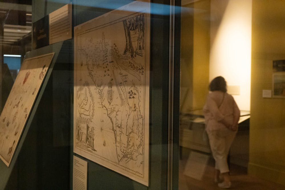
First-year Natalie Garcia grew up in Massachusetts before coming to North Carolina to attend UNC.
Prior to attending Wilson Library’s ‘Compasses, Cartouches, and Creatures’ gallery, she said she felt her knowledge of North Carolina history was incomplete. But she said visiting the exhibit, which opened July 27 and was curated by the North Carolina Collection Gallery staff, helped her “bridge the gap” in her geographic understanding.
“I feel like a map can tell you so much,” she said.
Open to students and the public, the collection features maps dating back to the 16th century and demonstrates how North Carolinians rely on cartography beyond navigation.
“Maps can be used as an important resource to enhance historical research,” Linda Jacobson, keeper of the North Carolina Collection Gallery, said.
She also said maps use artistic embellishment and pictorial elements to “communicate information about culture, economics and politics” about the period they were made in.
The contents of the exhibition span across five centuries, Jacobson said, which reflect historical periods from the Age of Exploration to the mid-twentieth century.
Several maps within the exhibit show the harmful stereotypes of their time, she also said. Poor depiction or general lack of representation are prevalent themes in cartouches; when they include non-white figures, the illustrations often feature caricatures of the pictured demographics.
When she referred to “Virginia, Marylandia, et Carolina,” a map dated to approximately 1730 by Johann Baptist Homann that is part of the exhibit, Jacobson showed how the map indicated the power dynamics and racism of the time.


