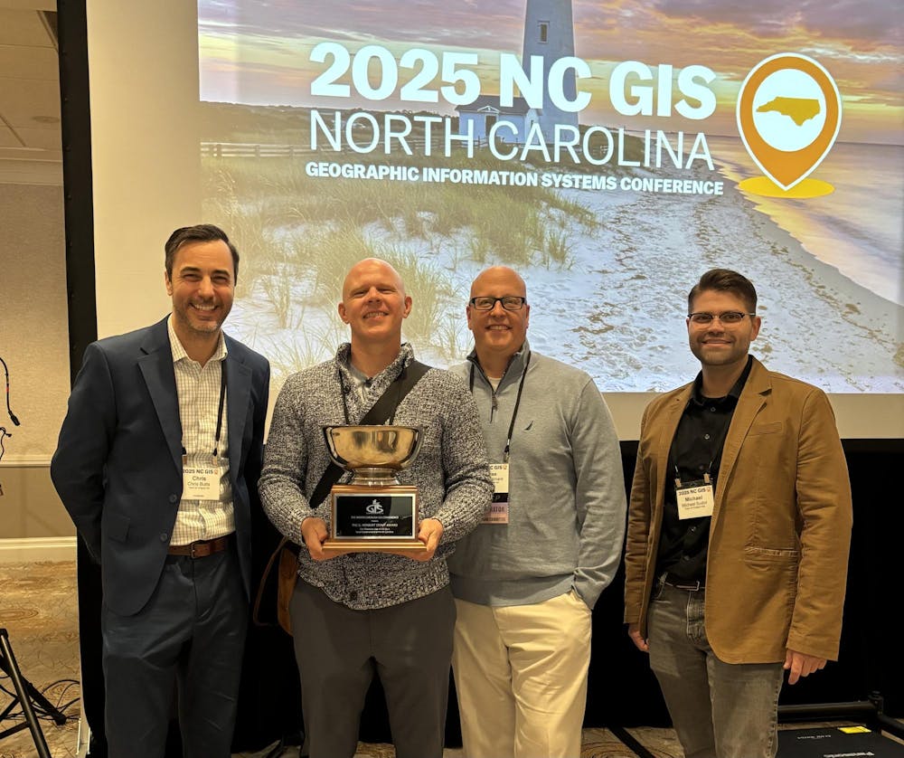
At the 2025 North Carolina Geographic Information Systems Conference in March, the Town of Chapel Hill received the G. Herbert Stout Award for their Residential Parking System.
One of the largest state GIS conferences in the nation, the NC GIS Conference has been held every two years since 1987. The conference aims to bring the GIS community together and share technology growth. The G. Herbert Stout Award is sponsored by the NC Geographic Information Coordinating Council and has been presented since 1993. It recognizes innovative use of geographic information systems by local governments in North Carolina, according to the award’s submission criteria.
Chapel Hill’s new parking permit system shifted a process that was paper-based and manual to something that is web-based and largely automated, the Town's Senior GIS Analyst Dave Almond said. The user interface has been improved so that all documents can be submitted in one place now, he said.
“For years we’ve been identifying paper processes, trying to automate, create efficiencies, workflows,” Chris Butts, the chief information officer for the Town's Technology Solutions department, said. “We're still doing that, and the way we take on projects, we just prioritize what would have the largest impact for our residents and the departments that we serve.”
The project was created in response to a need from the parking services division, Almond said. The project was developed by the GIS and Analytics Division, which is a subdivision of the Department of Technology Solutions, in conjunction with others of the Technology department, the Town's Media Relations Manager Alex Carrasquillo said.
GIS is a geographic information system that serves as an internal mapping platform, Almond said.
“Most communities use GIS, not just as mapping software, but for analysis, and it's become a really robust tool for municipalities,” Interim Town Manager Mary Jane Nirdlinger said.
The expansion of GIS to the web saves time in data retrieval to improve decision-making, Almond said.
Town Council member Melissa McCullough said she has been using GIS her entire career, and it makes a big difference.


